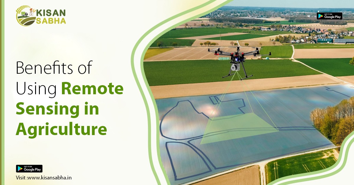
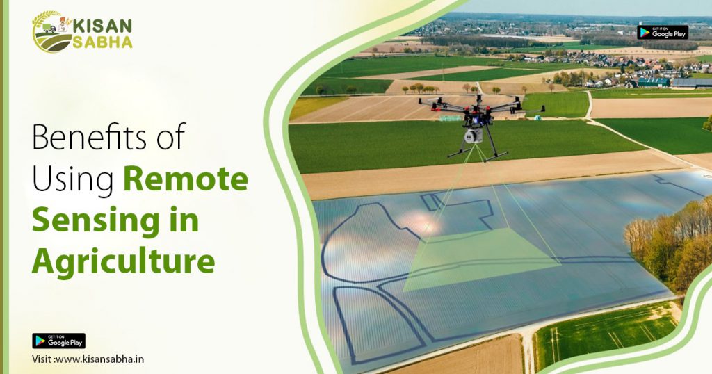
Fundamentally, remote sensing involves inspecting terrain from a considerable distance using advanced instruments. It evaluates the physical characteristics of a plot of land, creating a picture that enables professionals to examine specific portions by estimating the radiation emitted and reflected by it.
Remote sensing is the process of learning information about an object or phenomenon without actually touching it. It is a phenomenon that has various applications, including photography, surveying, geology, forestry, and many more. However, remote sensing has been widely used in agriculture. There has recently been a surge in the usage of cutting-edge technologies in farming.
Modern agricultural operations are considerably more efficient, logical, and simplified as compared to traditional agrarian ones. Using cutting-edge technology in all aspects of cultivation, such as crop yield estimation, can result in a larger harvest and ideal production.
Farmers must take the best care of their crops possible to ensure a higher harvest. Customary systems limited monitoring over larger areas since farmers had to physically visit every piece of the field. The most recent technology has offered farmers with a number of strategies for controlling crop quality across bigger areas without much of a stretch screen.
What role does remote sensing play in agriculture?
Remote sensing photos allow for the identification of nutritional deficiencies, illnesses, water shortages or surpluses, weed infestations, insect damage, hail damage, wind damage, herbicide damage, and plant populations.
Farmers can utilize remote sensing data as a base map when spraying fertilizers and insecticides at different rates. By using information from remotely sensed images, farmers can treat only the affected parts of a field, recognizing problems remotely before they become visible.
Ranchers use remote sensing to locate good grazing pastures, overgrazed areas, or plant infestations. Using remote sensing data, lending institutions compare archive pictures to those of surrounding fields to evaluate the relative costs of land.
Remote sensing has numerous applications in agriculture. The following is a list of these applications.
There are numerous advantages to using remote sensing for agricultural research. The examination of crop canopies in agriculture has provided vital insight into agronomic aspects. Remote sensing is critical in crop classification, crop monitoring, and yield evaluation. Remote sensing is necessary in the realm of agronomical research due to their great sensitivity to variations in soil, climate, and other physicochemical changes.
- Crop production forecasting: Researchers use it to predict crop yield and production across a specific area, as well as to forecast the amount of crops that will be grown on specific farmland over a given time span.
2 Crop damage and crop development: If there is crop damage or crop development, this technology can penetrate the field and precisely determine the extent of damage to a given crop, as well as the development of the remaining crop on the farm.
3. Horticulture, Cropping Systems Analysis: Remote sensing technology has also aided cropping systems analysis in agriculture and horticulture. This technique has primarily found application in the horticultural sector, where it enables the evaluation of flower growth patterns and the making of forecasts.
4. Crop identification: Remote sensing has also proven useful in identifying crops, especially when the crop under observation is ambiguous or exhibits other puzzling characteristics. Researchers in the laboratory analyze various agricultural aspects, including crop culture, using data collected from the crop.
5. Estimating the amount of field planted with crops: Remote sensing has also played an important role in this process. Reviewing vast expanses of locations can be a time-consuming operation when done manually.
6. Crop condition evaluation and stress detection: Remote sensing technology is essential for identifying the health of each crop as well as how well it has resisted stress. This data is then used to determine the crop’s quality.
7. Planting and harvesting dates: Because remote sensing technology is predictive, farmers may now examine a variety of data, such as weather patterns and soil types, to estimate the planting and harvesting seasons of each crop.
8. Crop yield modelling and estimation: By evaluating crop quality and farmland area, remote sensing allows farmers and specialists to forecast crop output from specific farms. This is then used to estimate the crop’s overall yield.
9. Estimating soil moisture: Measuring soil moisture without remote sensing equipment can be difficult. Remote sensing assess the level of soil moisture, which also helps in determining the sort of crop that may be grown there.
10. Irrigation monitoring and management: Remote sensing offers data on soil moisture. This information helps in planning the soil’s irrigation requirements and determining if the soil is moisture deficient or not.
Finally, the remote sensing concept and its application in agriculture have produced substantial advances in our understanding of climatic changes by quantifying the temporal states of the oceans, land, and atmosphere. Although there were other devices, they were not as accurate in detecting meteorological and climatic changes as this one was. The weather has a tremendous impact on farming and agriculture, influencing production outcomes. As a result, this method has shown to be an effective tool for producing accurate climate change predictions.
Visit us – www.kisansabha.in for more details !!!